Diphu July 6: There may be quite a lot of embarrassed red faces amongst the proponents of the Nagaland expansionism, because, it is well documented that there is no absolute and singular figure representing the Geographical area within the political boundary of the 16th state of the union of India, created on the 1st December 1963.
The various authoritative and official figures for the geographical spread of Nagaland deviate and fluctuate from each other from time to time. This is not good for the image of a geostrategically located famous place which made it from “District of Statehood.”
Nagaland Area Variations
The first report quoting the figure of 16, 45160 km2 was the census of India report of 1950.
This fluctuated in the decades 1960, 1970 and later. In fact, the 1971 report of the 1970 census was the first one to note the area under kilometers squared of 16,527.00 km2.
This was after statehood was attained in 1963 as a first admission. The forest survey of India puts the area of Nagaland at 16,579.00 km2.
Geological survey of India estimated, in 2011-12, the area of the state of Nagaland as 16,527.00 km2.
The 2014-15 figure of the Ministry of Agriculture, Government of India puts the area as 16,580.00 km2. With the entire varied figure is it not necessary to reassess the actual figure of Nagaland’s authentic landmass?
A very highly placed forest officer of Assam state investigates the various conflict issues and comes out with an interesting finding.
To beat the monopoly of the Chinese over the global supremacy of Tea trade; the Colonial British authority made some efforts; even industrial espionage which was carried out by smuggling many Chinese tea plant seeds and bulbs.
These did not grow in the soils of Assam but did well in the Doors area only to be known as Darjeeling tea after the native variety of the Tea tree, Camellia sinensis var. assamica. This variety grew wild in the Tropical Wet Evergreen Forests of Upper Assam. The chance discovery of this eventually led to the commercial mode of cultivation of the the plant.

Financial War
This was the tool to fight a financial war and the battlefield was right in Assam, and nobody even knew about it.
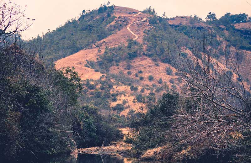
An eventual trade-off resulted in favor of the tea trade against the pristine natural grown forests. These had more than a 4,000 km2 contiguous area.
The tea processed needed quicker transportation and railways were built, cutting through the jungles, and causing much disturbance.
The nine hundred miles-long railway tracks in Assam needed an enormous number of wooden sleepers and they came from the naturally grown forests, denuding them together with the plywood factories.
In the bargain, the landscape had a lot of conflict situations which include the Nagaland- Assam border conflicts too.
Nagaland suffered from land alienation at what time, for tea cultivation, the area was modified with fifteen boundary notifications and six inner line notifications as well, between 1867 to 1923.
By 1908, the area of Nagaland was 8647.00 square miles this equals 22395.63 km2. However, by the famous notification numbered ‘3102R’ dated 25th November 1925, the boundary of Nagaland was fixed. But we know, for some odd reason, the figure representing the area of Nagaland is never the same.
But the same state had claimed 12,882 square kilometre areas across the mutual 434 kilometre long interstate boundaries.

Tea plantation. Image by David Mark from Pixabay
Disputed Land
The Sundaram commission (1972-76) made it clear that more than 4000 square miles of Assam’s land had been claimed without basis by Nagaland.
According to informed sources, the boundary between Assam and Nagaland is divided into six areas A B C D E F sectors. Since that was set, there have been 160 or morelives lost in the border skirmishes.
It is worth wondering what if the following telegram from NNC, dispatched on 14th August, 1947; had been considered with due honor?
“Naga hills cannot be considered part of India, unless heads of agreement between government of Assam and the Naga National Council are accepted to the letter of execution with the Clause nine, modified as at the end of period, the Nagas will be free to decide their own future.”

